Mulazzo Route
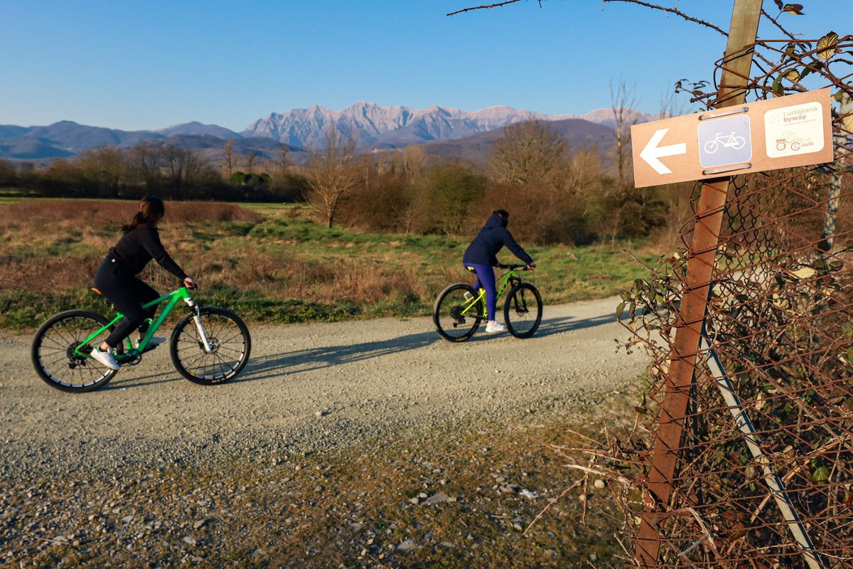
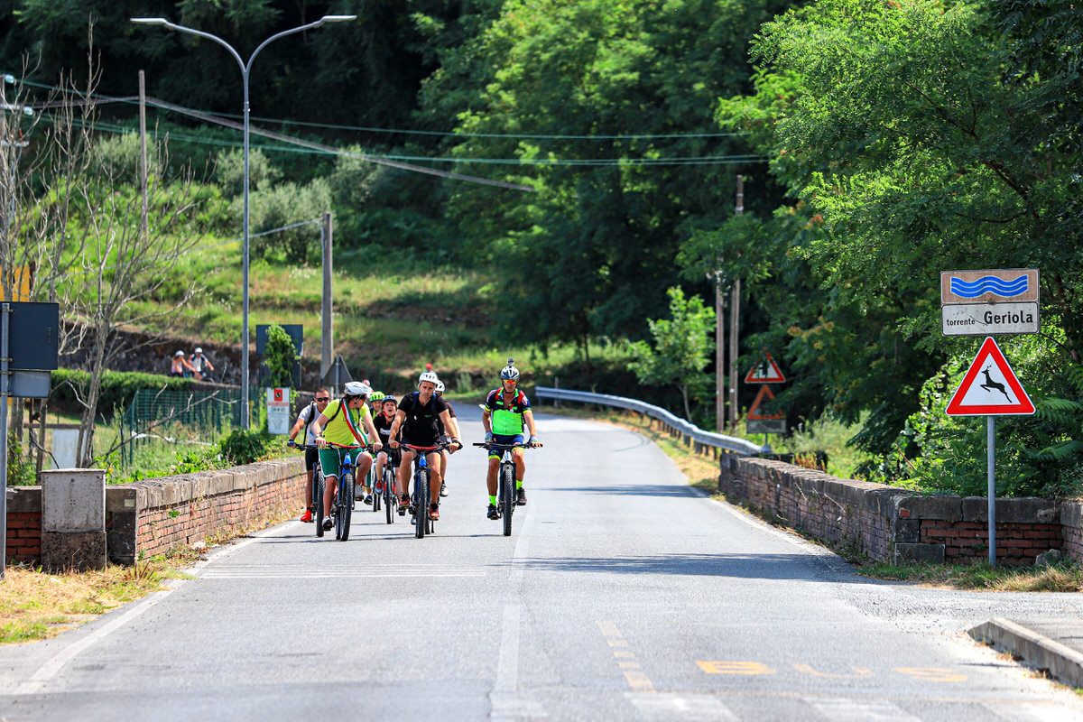
Crossing the bridge from Villafranca enter the municipality of Mulazzo. Continue for a stretch of paved road following the signs for the village of Mulazzo. Once you arrive in Groppoli, just before the bar and the junction for Arsio, take the road on the right, marked by the special brown signage for the cycle path of the castles.
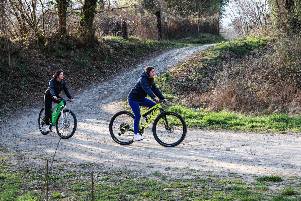
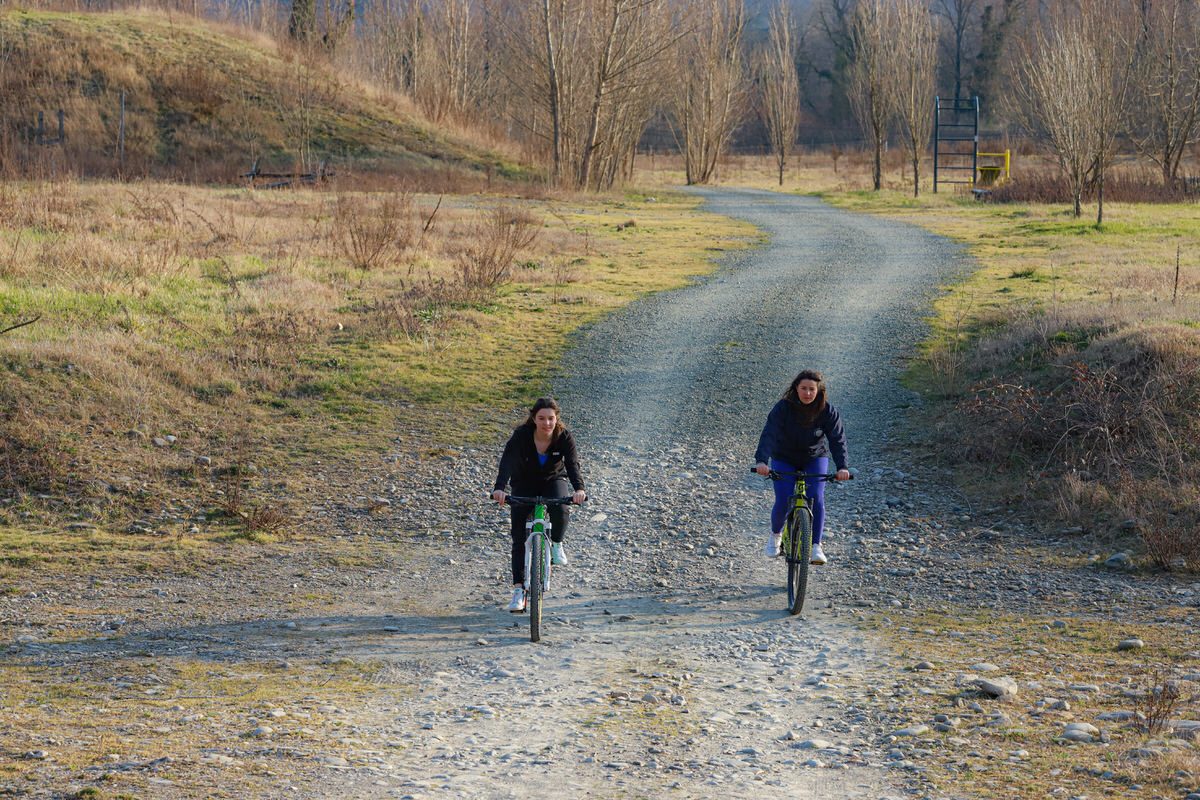
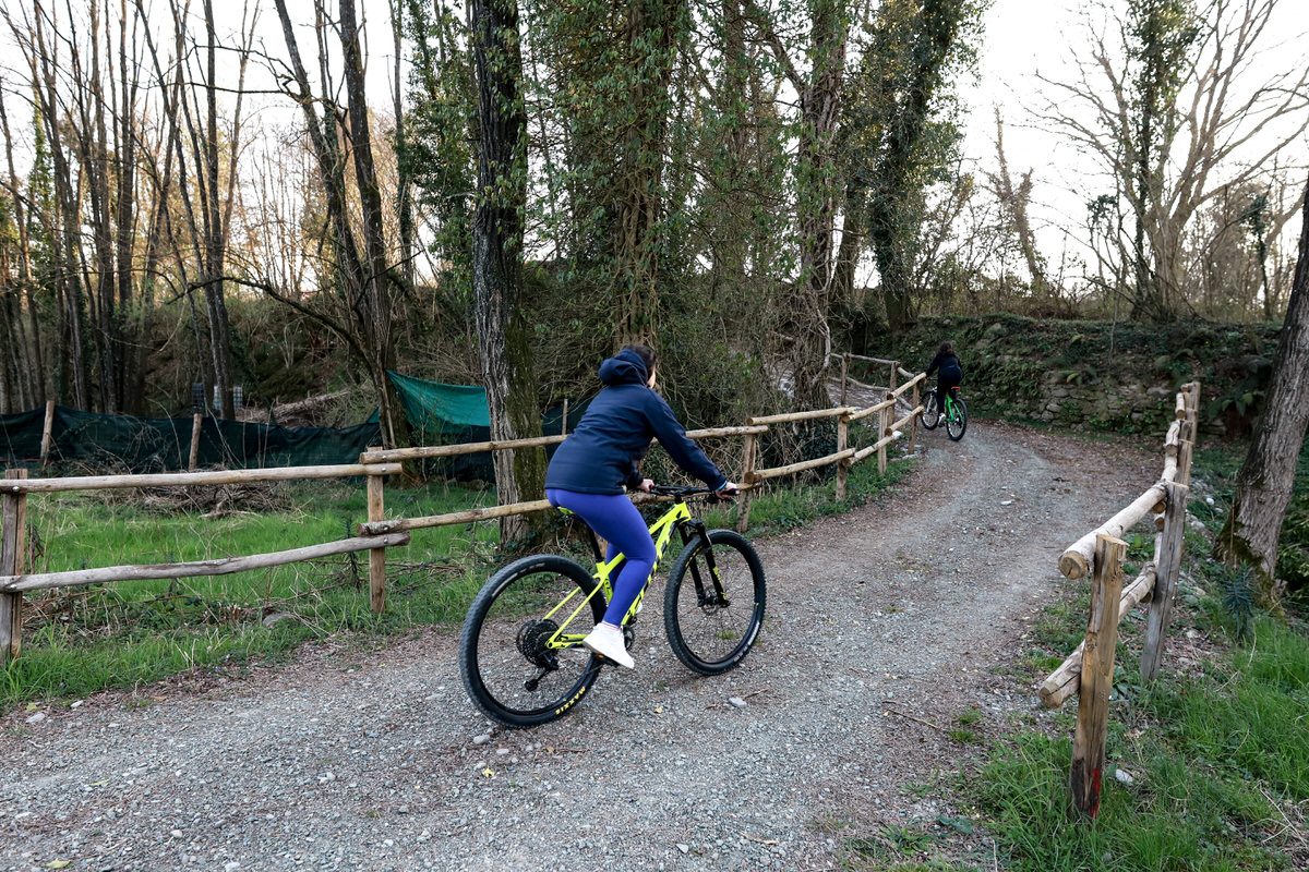
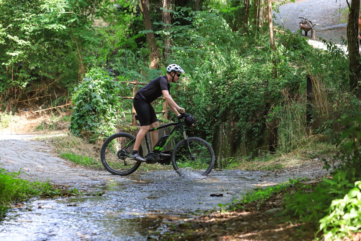
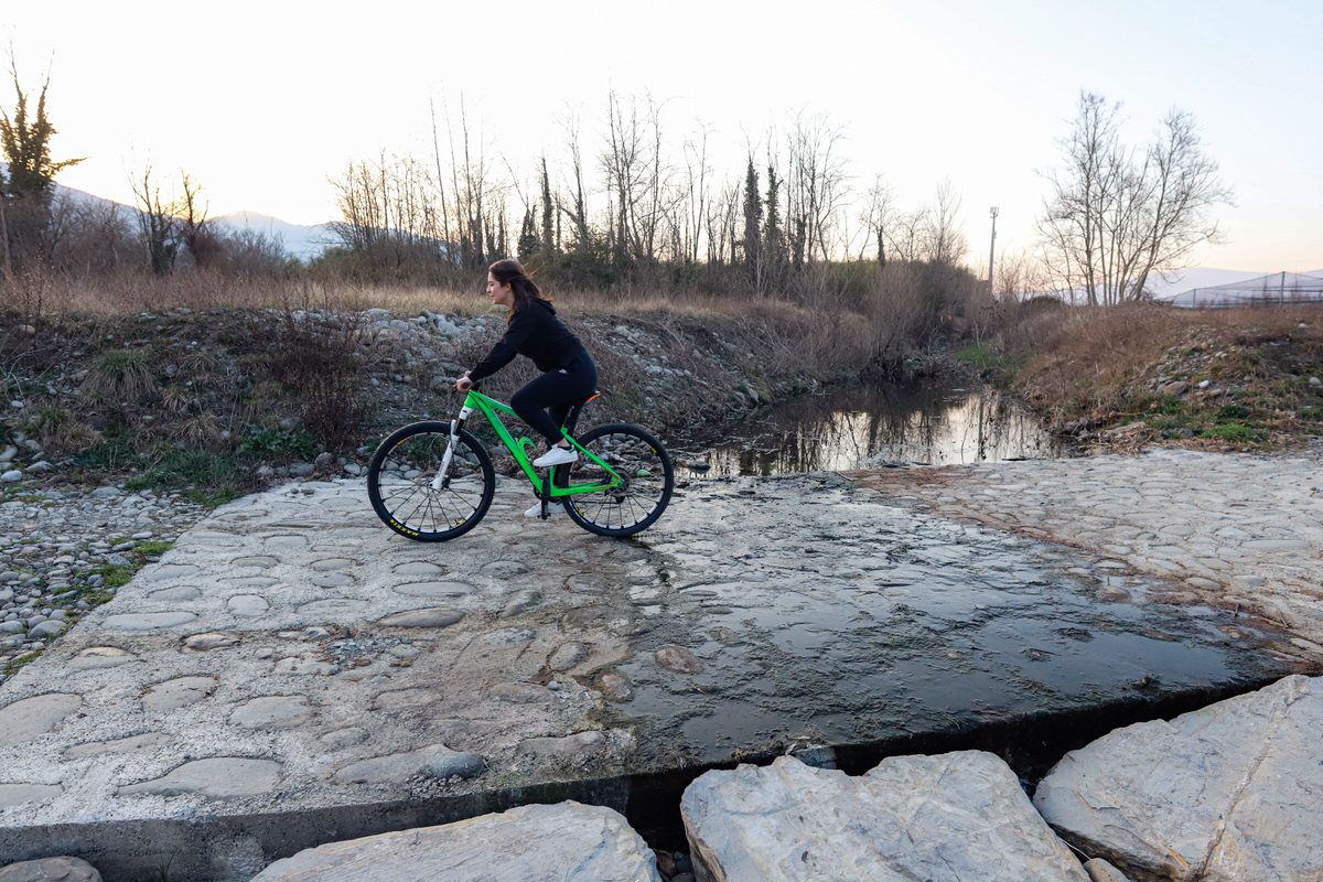
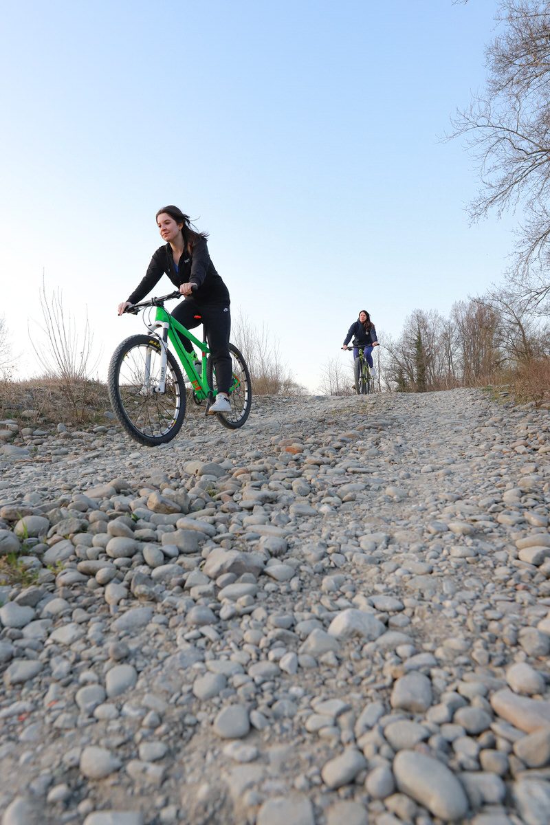
Once you have passed a series of houses, you descend on the dirt road in the direction of the Magra River.
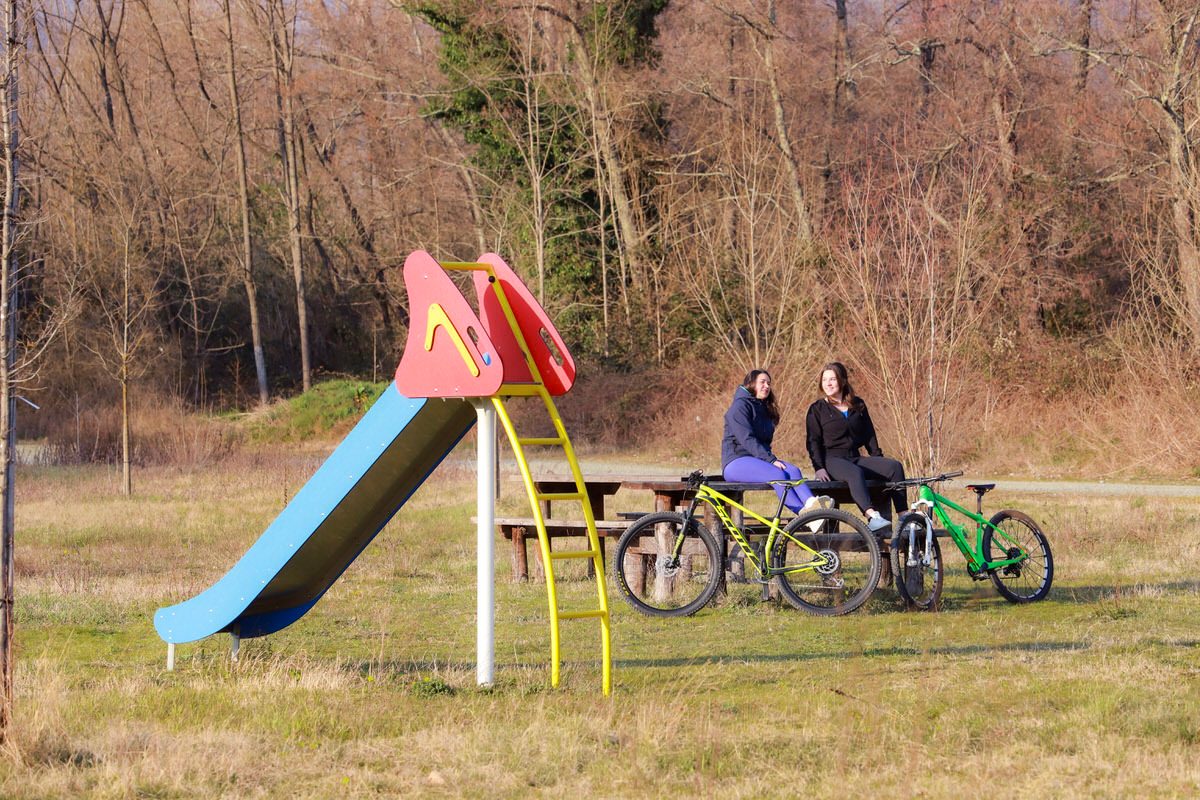
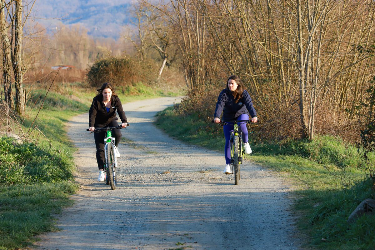
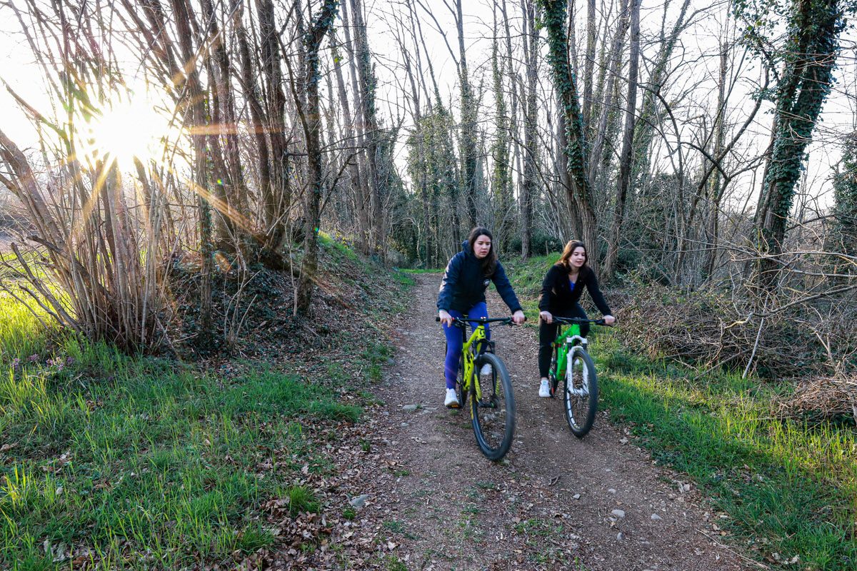
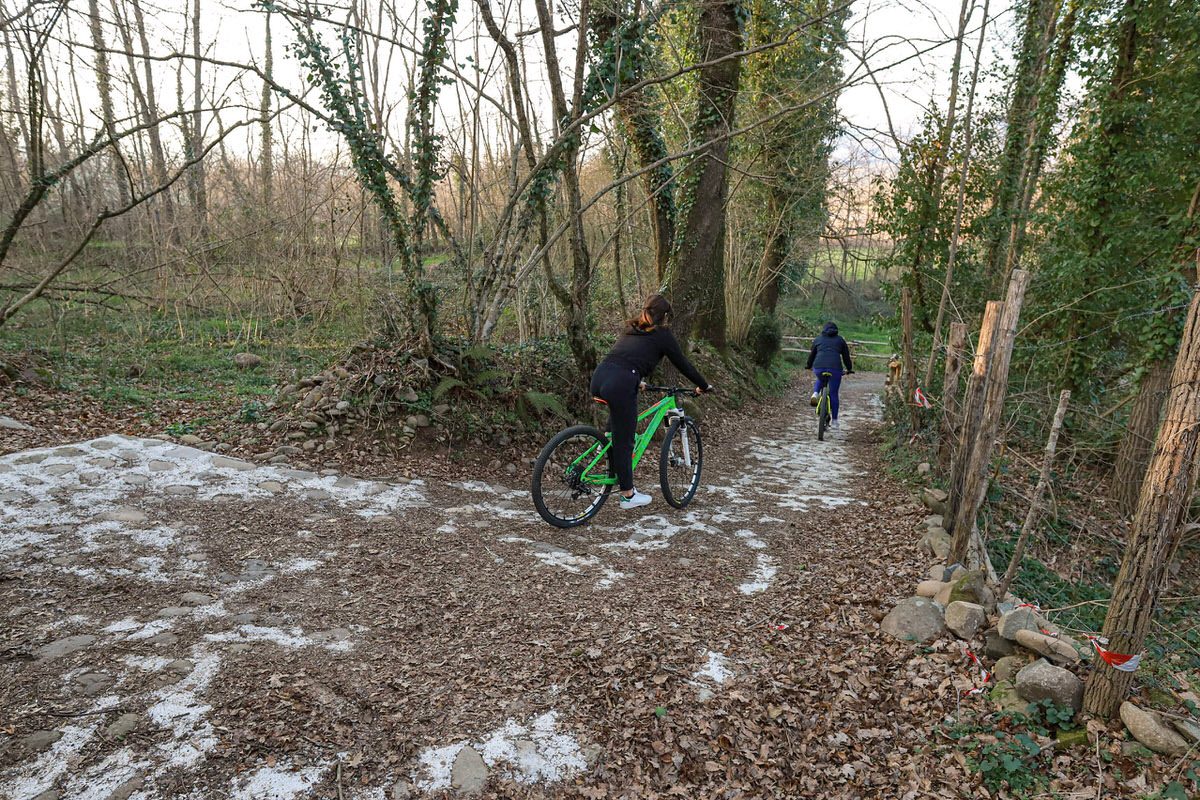
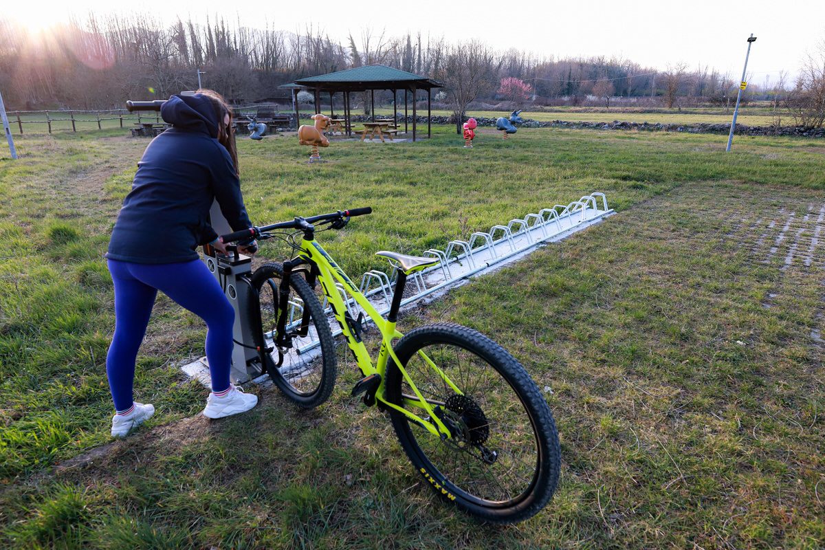
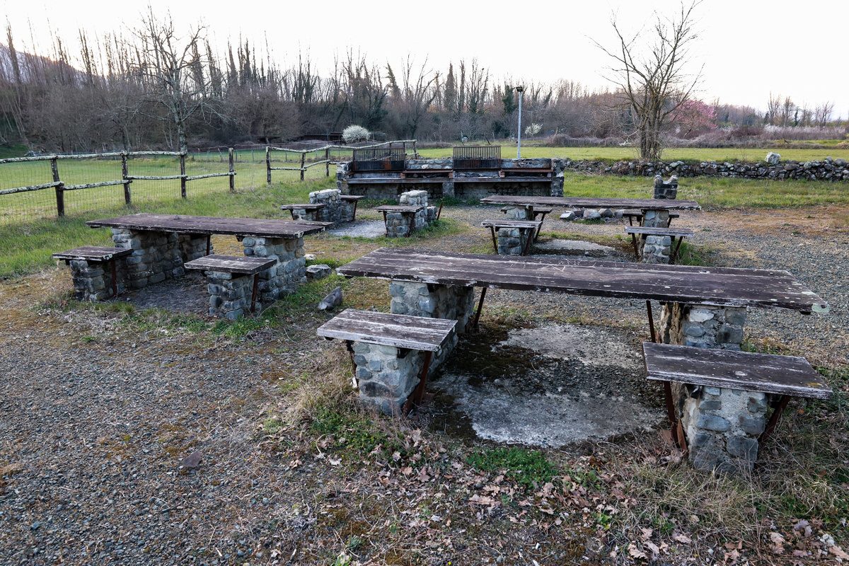
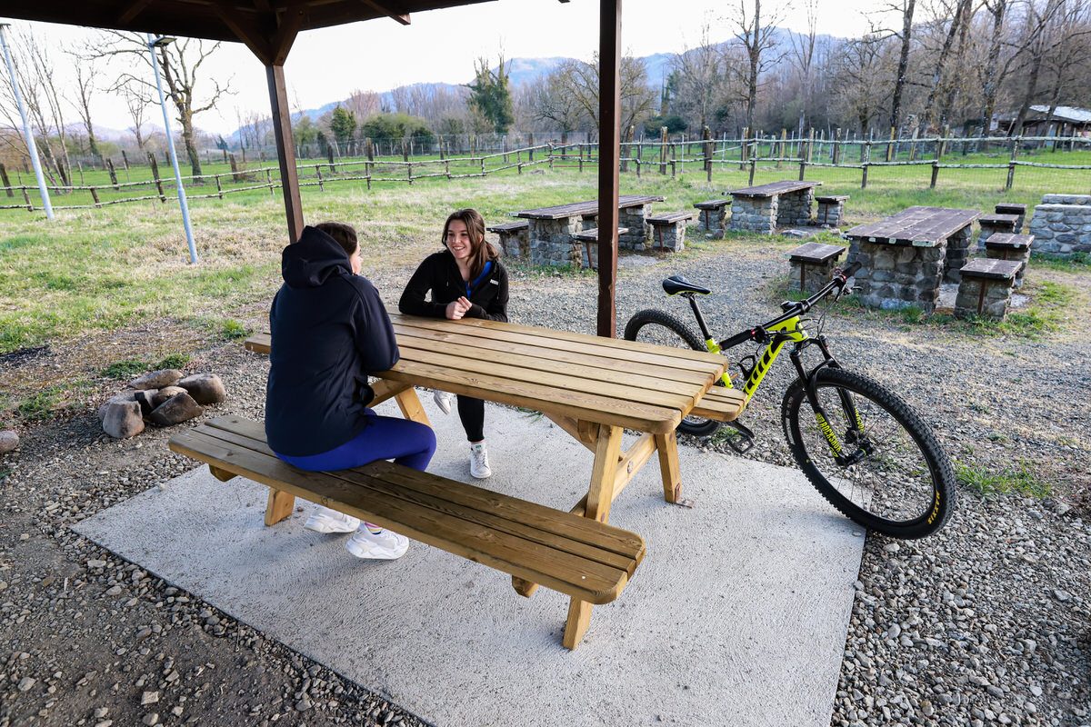
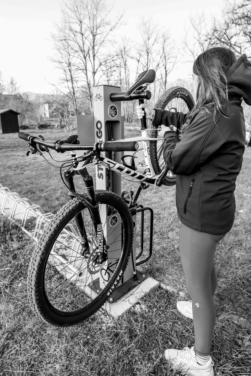
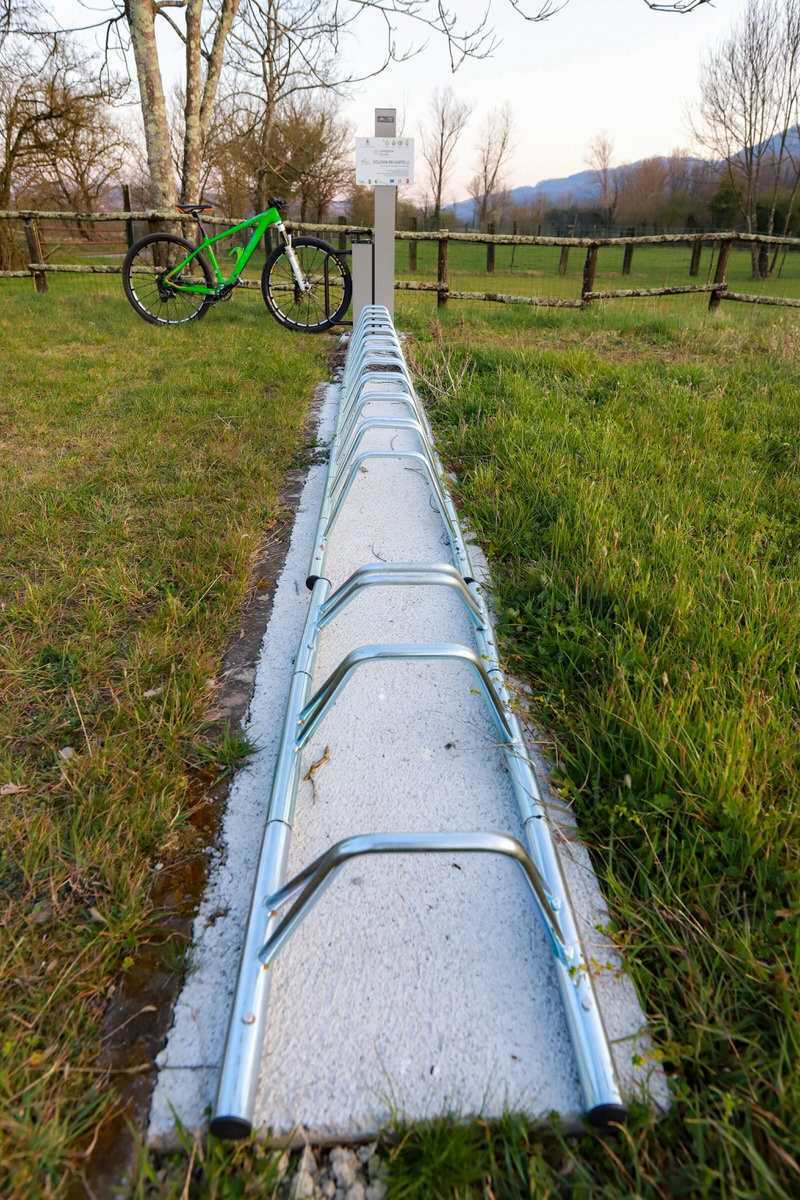
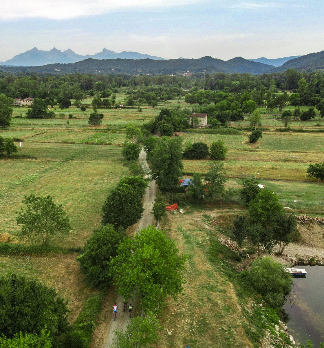
At this point cycle in the direction of Pontremoli between fields, woods, playgrounds, picnic areas and barbecue stops. Where you will also find a maintenance point.
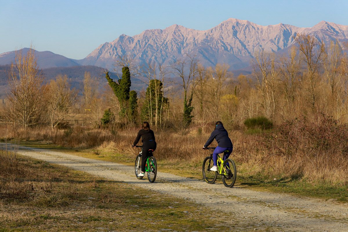
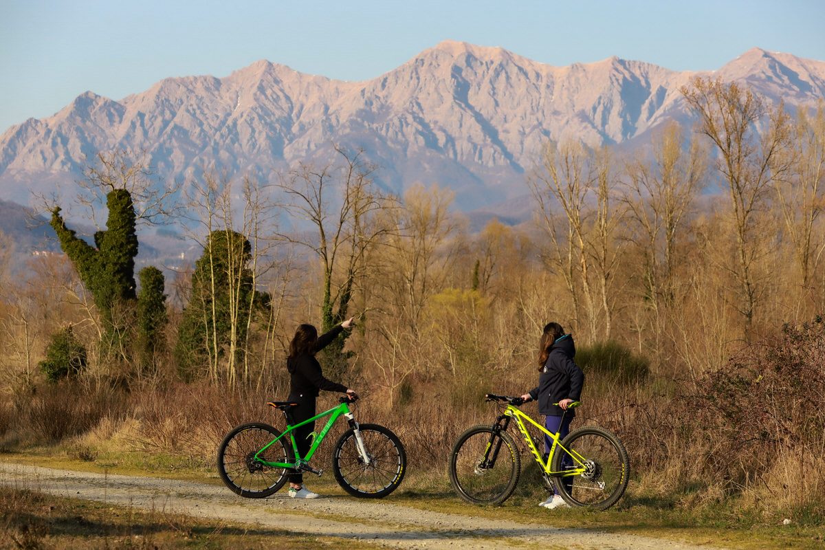
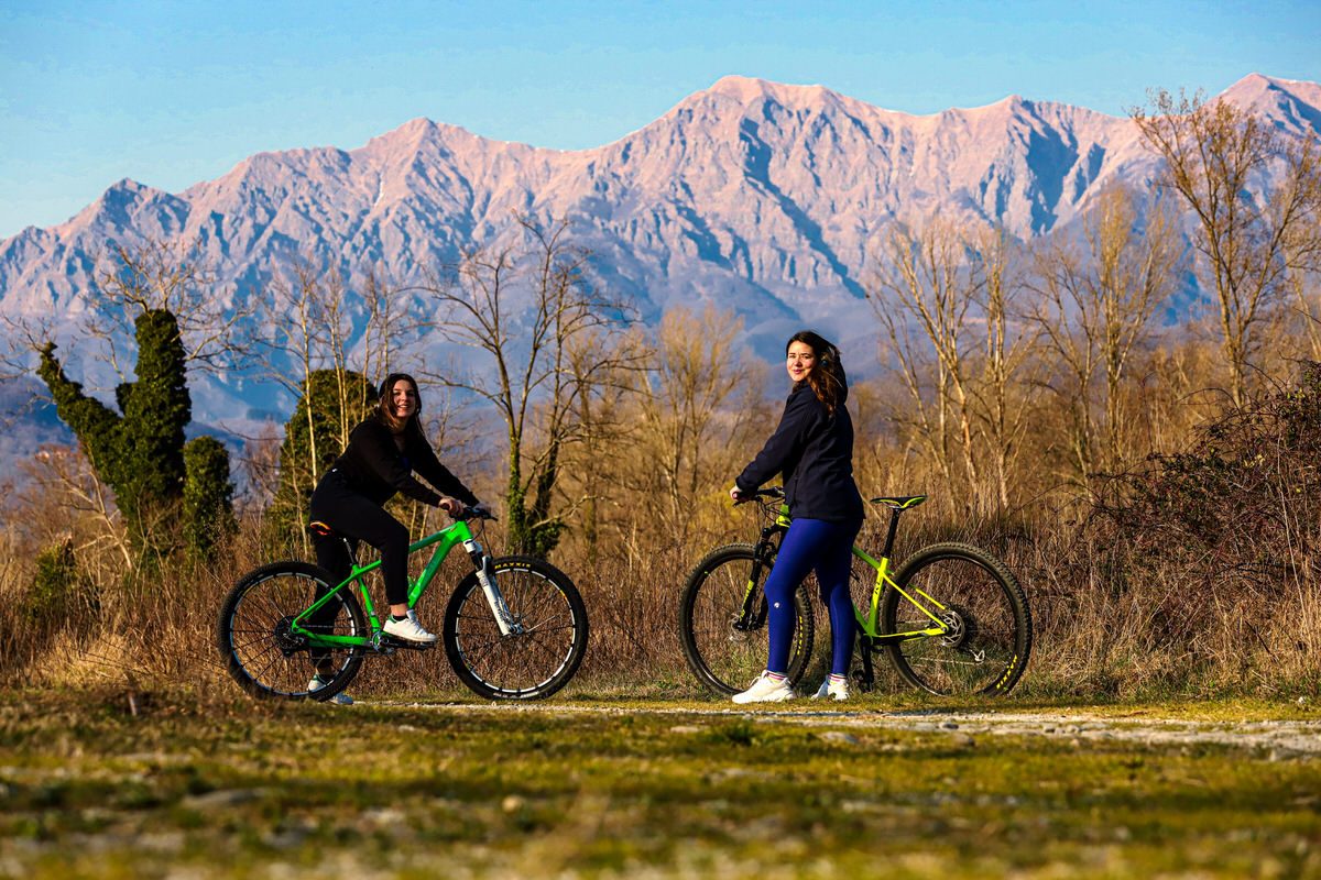
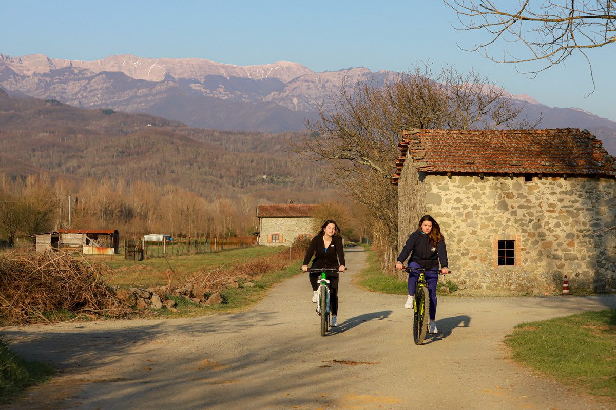
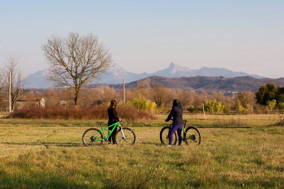
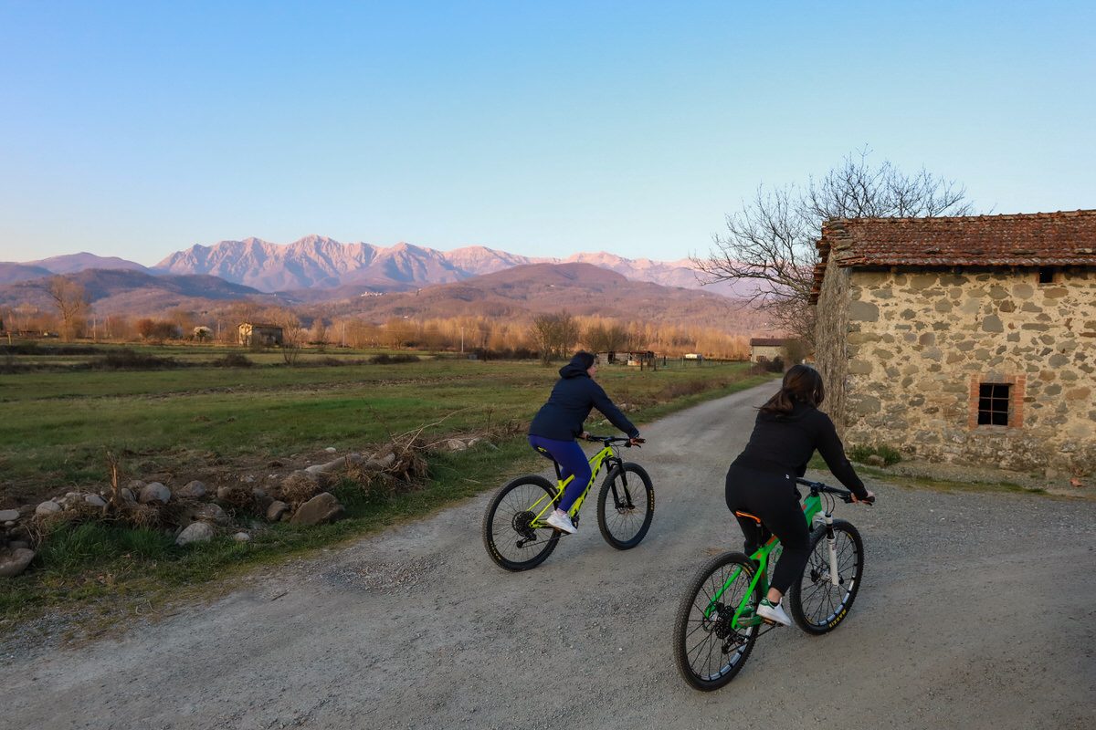
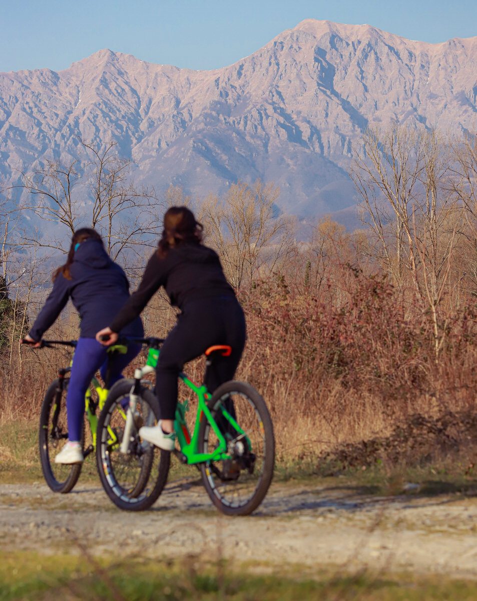
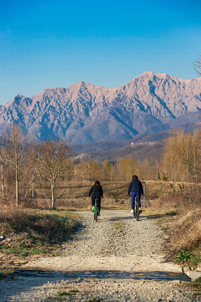
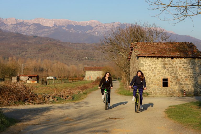
From the plain of the Magra in the municipality of Mulazzo you can admire the entire Tuscan-Emilian Apennines and to the right the magnificent Apuan Alps.
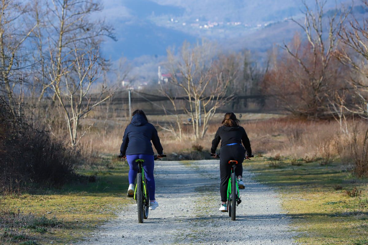
Opposite you can clearly see the village of Filattiera, Serravalle, Lusignana, Irola, Nezzana.
Along the mulazzo cycle path you can also see a small lake, recently redeveloped for environmental purposes.
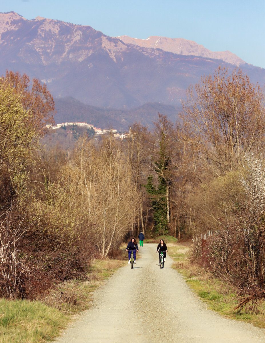
Continue cycling in the plain of Magra, along Groppoli and Arpiola, until you emerge again on the main road. Turn right and follow the paved road passing several places, such as that of Teglia where you will find bars and restaurants, until you enter the municipality of Pontremoli.
For the more intrepid you can leave the cycle path at Arpiola and follow the signs towards the beautiful village of Mulazzo, perched in the highest part of the hills that precede the Ligurian Apennines.